Last Updated: November 2, 2026
Quick Summary
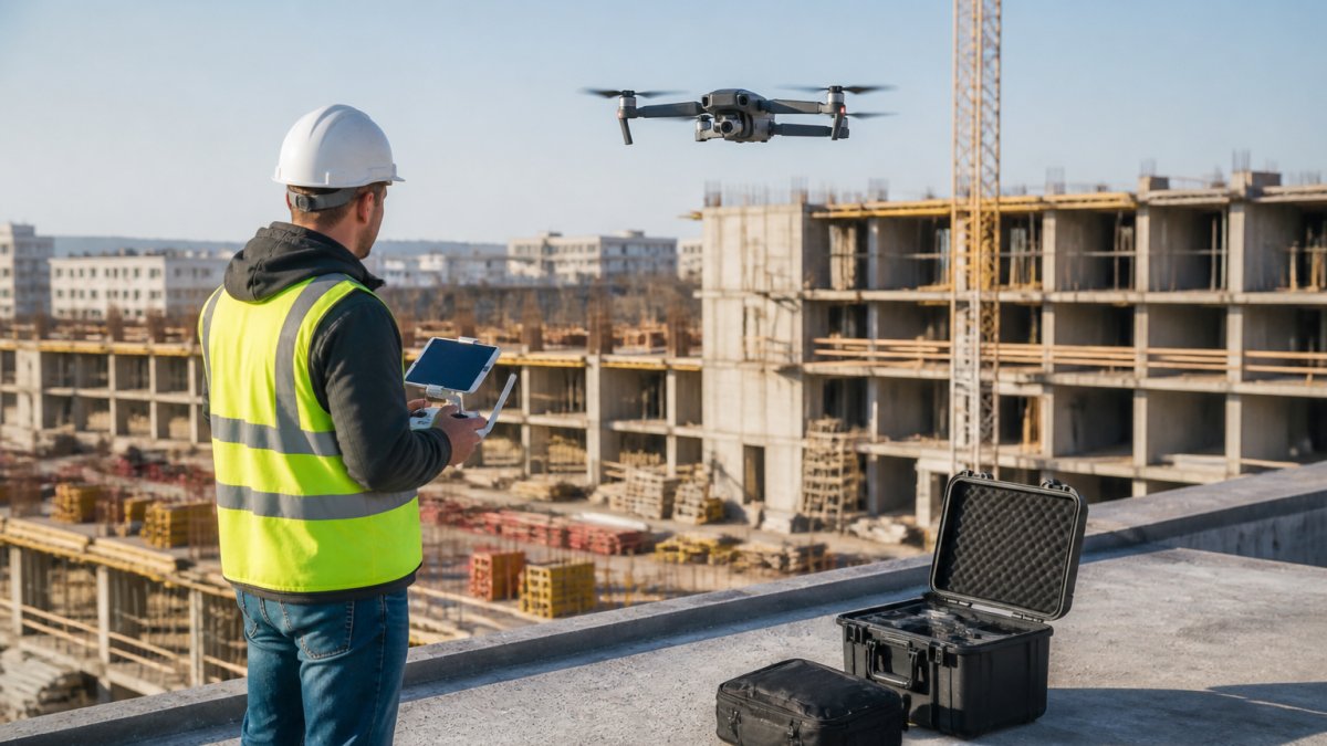
Commercial drone photography is aerial still and video capture from a licensed, insured unmanned aircraft for business use, producing repeatable, high-resolution records that phone photos cannot match. West Michigan Aerial Documentation LLC flies FAA Part 107 licensed missions planned with saved waypoints and fixed altitude so the camera sits in the same position every visit.
- Commercial drone flights require an FAA Remote Pilot Certificate, the first thing to check before hiring.
- Aerial site documentation records a project at fixed intervals from site clearing through final grading.
- Commercial drone photography cost depends on flight frequency, site size, deliverables, and turnaround, not a flat rate.
- Vet operators on five checks: certificate, insurance, airspace clearance, flight consistency, and deliverables.
- Part 107 allows commercial operations in Class G airspace without authorization and in controlled airspace with LAANC or DroneZone approval.
Table of Contents
- What Commercial Drone Photography Delivers Beyond Phone Photos
- Aerial Site Documentation That Tracks Projects From Dirt to Completion
- Construction Progress Photography for Builders, Owners, and Investors
- Real Estate Drone Photography That Sells Sites and Listings
- What Commercial Drone Photography Cost Depends On
- How to Vet a Licensed Drone Operator Before You Book
- Aerial Imagery That Works as Hard as Your Project Does
- Frequently Asked Questions
What Commercial Drone Photography Delivers Beyond Phone Photos
Commercial drone photography is the practice of capturing aerial stills and video from a licensed, insured unmanned aircraft for business use, and it produces repeatable, high-resolution records that phone photos cannot match.
The difference shows up in three places: framing, consistency, and scale. A phone photo from the cab of a pickup shows one corner of a site. An aerial view shows the whole site, the staging areas, the access roads, and how the building sits on the land. According to the Federal Aviation Administration's Part 107 overview, commercial drone flights require a Remote Pilot Certificate, which is the first thing to check before you hire anyone.
Below, we break down the seven services that win projects, what drives commercial drone photography cost, and how to vet an operator before you book.
Aerial Site Documentation That Tracks Projects From Dirt to Completion
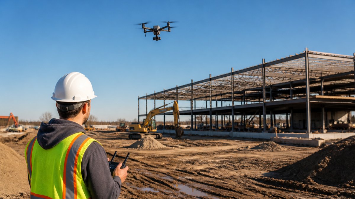
Aerial site documentation is a scheduled series of drone flights that records a project at fixed intervals, from site clearing through final grading.
Why Repeatable Flight Positions Matter More Than Camera Specs
Most buyers ask about megapixels. The better question is whether the operator can put the aircraft in the same spot next month. We plan each flight with saved waypoints, fixed altitude, and consistent camera settings, so the only thing that changes between visits is the site itself.
Construction Progress Photography for Builders, Owners, and Investors
Construction progress photography gives three audiences one shared record. Owners see the site without driving out, lenders and investors get dated evidence for draw requests, and project managers get a visual log that settles arguments about when a delay started. Treating aerial photos as marketing only is a mistake; the documentation value outlasts the marketing value on most jobs.
Interior Documentation Before the Drywall Goes Up
Aerial views stop at the roofline, and what sits inside the walls needs its own documentation pass before drywall hides it. Interior documentation covers visible framing, electrical wiring, plumbing, HVAC runs, and wall blocking. For a deeper walkthrough, see our guide on how to document construction progress before drywall. Homeowners and remodelers use those photos years later when a repair requires knowing what is behind a wall.
Real Estate Drone Photography That Sells Sites and Listings
Real estate drone photography sells the setting as much as the structure. Aerial imagery shows acreage, waterfront, outbuildings, and proximity to amenities in a way ground photos cannot. For developers, an aerial view of raw land can communicate the opportunity before a single stake is in the ground.
When you are ready to put that imagery to work on a specific property, our aerial photography for roofs, land, venues, and listings covers the property types we document. The FAA also maintains airspace rules for commercial drone operations that determine where a flight is legal, which is why a licensed operator checks airspace before quoting a job.
What Commercial Drone Photography Cost Depends On
Commercial drone photography cost depends on flight frequency, site size, deliverable format, and turnaround time, not on a single flat rate. A one-time marketing shoot prices differently from a monthly progress series, and frequency is the largest lever on annual spend because each recurring flight adds planning, flight time, and editing.
| Cost Driver | What Changes the Price | Typical Impact |
|---|---|---|
| Flight frequency | One-time vs. monthly vs. milestone-based | Largest single lever on annual cost |
| Site size and complexity | Acreage, structures, airspace restrictions | More flight time per visit |
| Deliverables | Stills only vs. stills plus 4K video | More editing and production hours |
| Turnaround | Standard vs. rush delivery | Rush work adds scheduling pressure |
| Interior documentation | Aerial only vs. aerial plus pre-drywall interior | Adds a separate on-site pass |
How Quotes Are Usually Structured
Quotes can be broken out by scope, including travel and setup, flight time, post-production, and usage rights. Ask for the quote itemized this way so you can see which factors affect cost.
Package Tiers Buyers Commonly See
Service pages in this market tend to organize around three tiers. A single-visit marketing package covers one flight, a set number of edited stills, and often a short highlight video. A progress documentation package covers scheduled flights at fixed intervals with consistent framing, delivered as a dated image set. A full documentation package adds interior pre-drywall photography, 4K video, and sometimes 3D models or orthomosaic maps.
Request a Flight or construction photography inside and out even in the air →
What Drives the Number Up or Down
Airspace is an underrated cost driver. Sites near controlled airspace may require FAA authorization, and restricted or crowded airspace can add planning time. Large acreage means more flight time and battery swaps. Rush turnaround compresses the editing schedule.
Comparing Bids Without a Universal Rate Card
There is no published universal rate for commercial drone photography, and any operator who quotes one without seeing the site is guessing. Compare bids on identical scope: same number of visits, deliverable count and format, turnaround, and usage rights.
For a detailed breakdown of the factors behind recurring flights, read our article on recurring drone inspection costs.
How to Vet a Licensed Drone Operator Before You Book
Vetting a drone operator comes down to five checks, and all five take under an hour. A licensed operator will answer every one without hesitation. One that dodges the insurance question is telling you something.
- Remote Pilot Certificate: Ask for the operator's FAA Part 107 certificate and confirm it is current.
- Insurance: Request a certificate of insurance showing liability coverage and the coverage limit.
- Airspace clearance: Ask how they check airspace and whether your site needs authorization.
- Flight consistency: Ask how they reproduce the same camera position across visits. Saved waypoints and fixed altitude are the answer you want.
- Deliverables and turnaround: Get the file formats, resolution, and delivery timeline in writing before the first flight.
What the Insurance Check Actually Means
A certificate of insurance should show the coverage type and limits, and it should name the operator as the insured. Ask whether the policy covers commercial unmanned aircraft operations specifically, a general business policy may exclude aviation.
Airspace and Authorization in Plain Terms
Most flights fall under FAA Part 107, which allows commercial operations in Class G airspace without prior authorization and in controlled airspace with authorization through LAANC or the FAA's DroneZone portal. Airspace classification for a site can affect scheduling, so it is worth asking how the operator checks it. Ask what class of airspace your site sits in and whether the operator has obtained authorization there before.
Privacy, Permissions, and Site Access
Aerial photography raises privacy questions that ground photography does not. Ask how the operator avoids capturing neighboring private property beyond what the project requires, and whether they will sign a confidentiality or image-use agreement. For commercial and multifamily sites, confirm who owns the resulting images and whether the operator retains portfolio rights. Get site access and any tenant notification requirements in writing before the first flight.
Weather, Safety, and Scheduling Risk
Wind, precipitation, and visibility affect whether a flight can proceed safely. Ask about weather thresholds and how rescheduling works if a flight is grounded.
Contract Terms to Get in Writing
Before signing, confirm deliverables (file count, resolution, formats), turnaround time, usage rights, revision policy, and cancellation terms. Clarify whether raw files are included or only edited deliverables, and whether video comes with music licensing. These terms determine what you can actually do with the imagery after delivery.
Aerial Imagery That Works as Hard as Your Project Does
The challenge with aerial documentation is not finding someone with a drone. It is finding an operator who can reproduce the same shot next month, show up through a Michigan winter, and deliver files your stakeholders can actually use. You get progress records from dirt to completion and imagery that showcases the property's best outdoor assets. Request a flight and get construction photography inside and out, even in the air.
Frequently Asked Questions
What should property developers look for in a commercial drone photography service?
Start with FAA Part 107 certification and proof of insurance, then ask whether the operator flies repeatable positions so images line up flight after flight. Request sample deliverables from similar projects, including both aerial and interior construction documentation. Confirm turnaround time, file formats, and whether pricing covers a one-time shoot or recurring flights. A licensed operator should also explain flight planning, privacy practices, and what happens if weather cancels a scheduled flight.
How often should a construction site be photographed by drone?
Flight frequency depends on the project's pace and the milestones you need to document. The key is consistency: the same positions at the same intervals make progress easy to compare. For interior documentation, schedule a flight or walkthrough before drywall conceals framing, wiring, plumbing, and HVAC.
What deliverables should a commercial drone photography package include?
A complete package can include high-resolution stills and 4K video. Ask the operator to confirm exactly which deliverables and file formats are included. Interior documentation should cover visible framing, electrical, plumbing, HVAC, and wall blocking before drywall goes up.
How can drone photos help track construction progress?
Aerial site documentation captures the whole site in one frame, so owners and investors see ground conditions, staging areas, and building progress without a site visit. Repeatable flights from the same positions let you compare dates directly and spot delays early. Combined with interior photos taken before drywall, you build a visual record that supports future repairs, remodeling, and capital improvement tracking.
