01Document visible conditions
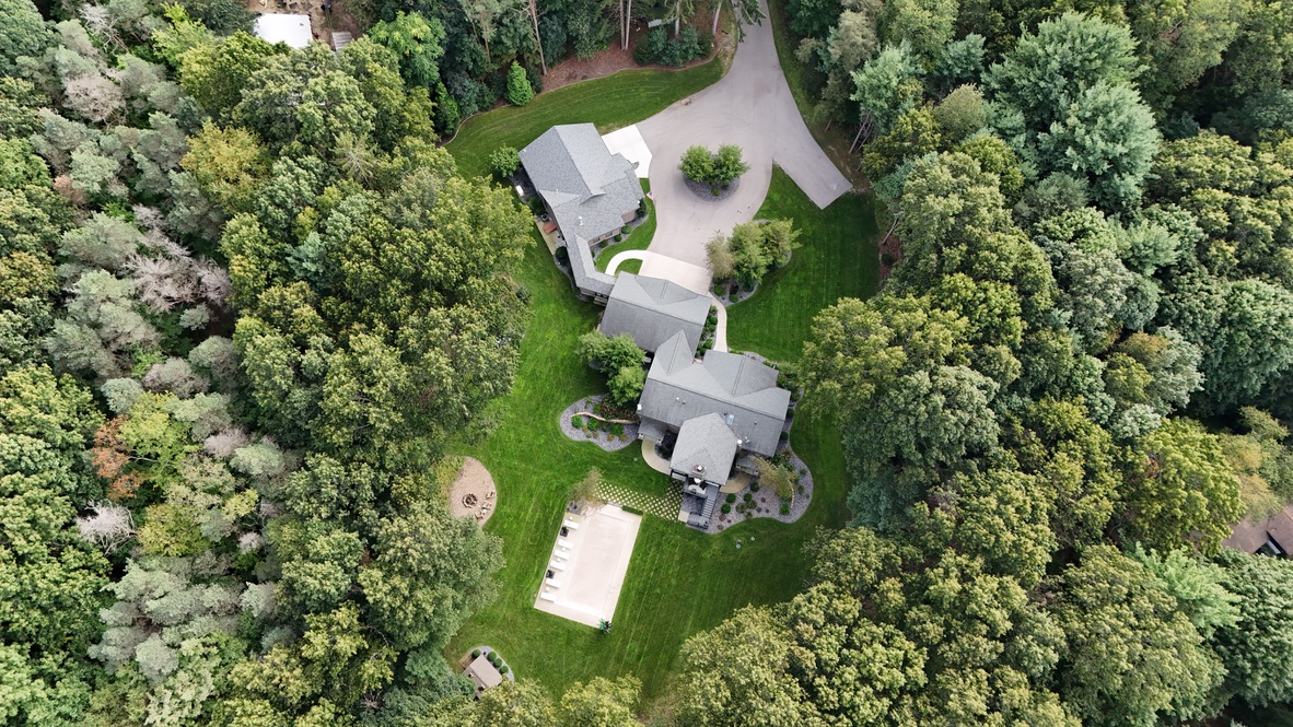
Create a dated visual reference of a home, roof, outbuilding, commercial property, or surrounding grounds. Aerial views can show the overall roof arrangement and property context, while selected closer views can document visible areas of interest. Share any particular concern with WEMAD before the visit so we can discuss suitable viewpoints and coverage. The delivered images can support a conversation with your roofer, contractor, or property team; they record what was visible at capture and do not reveal concealed conditions. Agree on the buildings, image selection, and intended use when requesting a quote.
02Make the setting part of the story
Show the relationship between the property and the land or water around it. For a wedding venue, that may mean the buildings, outdoor gathering spaces, and surrounding landscape. For a golf course or marina, it may mean the layout, shoreline, access, and features visitors want to understand before arriving. Homeowners can preserve a view of their home and grounds as they change over time. Tell us which features define the setting so the flight can be planned around them. Image use, seasonal appearance, lighting, and activity on the property can all shape the coverage.
03Images with a purpose
WEMAD serves the West Michigan Lakeshore, including Holland, Saugatuck, Douglas, and surrounding communities from Grand Haven to South Haven. Start with the property address, the buildings or areas to include, your timing, and whether the photographs are for visual documentation or marketing. We will discuss a suitable scope and organized digital delivery before the visit, including any repeat views or specific formats you need. Coordinate access with the property contact and allow for suitable weather, airspace, and site conditions. If the property is under construction, aerial imagery can also be planned alongside progress or pre-drywall documentation.