
Last Updated: October 28, 2026
Quick Summary
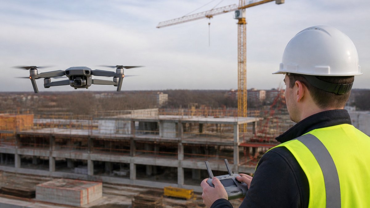
High resolution aerial construction records are dated images or video of a site taken from above, captured repeatedly from consistent positions. Public sources like USGS EarthExplorer and state GIS portals offer historical baselines, but a repeatable capture program is needed to track progress.
- Aerial construction records gain value from consistency, with repeat viewpoints showing how a site changed over time.
- Public imagery is often one to several years old, so it documents the past rather than current progress.
- Check each public image's capture date, GSD, and coordinate system, and save the metadata with the file.
- Match resolution to the question: a 1-meter pixel cannot show a stake or rebar cap.
- Clarify data ownership, reuse rights, and retention terms before agreeing to any provider quote.
Table of Contents
- What Counts as an Aerial Construction Record
- Public Aerial Imagery Portals and Historical Archives
- Commercial Providers and Choosing a Service
- Drone Mapping for Construction Sites: Resolution, Accuracy, and Capture Frequency
- Building a Construction Progress Photo Checklist and Report Template
- Scheduling Your First Aerial Capture on Your Project
- Frequently Asked Questions
High resolution aerial construction records give project teams a clear, dated view of a site from above. West Michigan Aerial Documentation LLC (WEMAD) works with owners, builders and developers who need that view on a repeatable schedule. This guide explains what counts as an aerial construction record, where to find existing imagery, how to choose a provider, and how to start your own capture program.
What Counts as an Aerial Construction Record
An aerial construction record is an image or video of a site taken from above, dated, and tied to a location. Its value comes from consistency. For a view that connects exterior context with interior details, see how exterior and interior milestones can work together in one record. A single photo shows one moment. A set of records taken from the same positions shows how the site changed over time.
Useful aerial construction records can include dated image sets. WEMAD provides high-resolution aerial photography and 4K video, with repeat viewpoints where access and conditions allow.
Public Aerial Imagery Portals and Historical Archives
Public imagery can provide a baseline for pre-construction conditions, but it is not a progress record. The practical skill is knowing which portal holds which vintage, how to pull a dated image for a specific parcel, and how to preserve the retrieval in a project file.
Where the imagery actually lives
- USGS EarthExplorer, the main federal clearinghouse for historical aerial photography and satellite scenes. You can search by address or draw a polygon, filter by acquisition date, and download free scans. Older frames are often black-and-white and may carry a GSD of 1 meter or coarser; newer orthoimagery is finer.
- USGS National Agriculture Imagery Program (NAIP), statewide orthoimagery collected on a roughly two-to-three-year cycle, typically at 1-meter GSD, with some states offering finer products. Good for regional context and neighbor parcels.
- State GIS clearinghouses, most states publish statewide orthoimagery mosaics on a multi-year cycle, often at 6-inch to 1-foot GSD. Search "[state] GIS orthoimagery" to find the current vintage and download links.
- County and municipal GIS sites, parcel viewers frequently include a recent ortho layer. These are handy for a quick look but usually lack download rights and metadata.
- Library and university map collections, many hold scanned historical aerial photography for specific counties, often with index maps that let you find the flight line covering your site.
How to pull a dated image for your site
- Search by address or draw the parcel boundary in the portal.
- Filter by acquisition date and pick the vintage closest to your milestone.
- Open the metadata record and note the capture date, GSD, coordinate reference system, and publisher.
- Download the full-resolution file, not the preview tile.
- Save the metadata record alongside the image in your project folder.
What to check before you rely on it
- Image date: Confirm the actual capture date, not the publication date. Public mosaics can blend flights from different months.
- Coverage: Verify your parcel sits fully inside the imagery extent and is not clipped at a tile seam.
- GSD: A 1-meter pixel cannot show a stake or a rebar cap; a 6-inch pixel can show a vehicle but not a label. Match the resolution to the question you are asking.
- Currency: Most public orthoimagery is one to several years old. It documents the past, not this week's progress.
Where public data stops
Public archives can provide pre-construction conditions, neighboring-parcel imagery, and historical land-use context. For repeatable progress records, consider a capture program and use public imagery as a historical baseline.
The table below summarises the main public sources for aerial imagery and what each one is best used for.
| Source | Best for | Key limitation |
|---|---|---|
| USGS EarthExplorer | Federal historical aerial photos and satellite scenes | Older frames may be black-and-white, GSD of 1 m or coarser |
| USGS NAIP | Regional context and neighbouring parcels | Collected on a two-to-three-year cycle, typically 1 m GSD |
| State GIS clearinghouses | Statewide orthoimagery mosaics | Multi-year cycle, often 6-inch to 1-foot GSD |
| County and municipal GIS sites | Quick parcel-level look | Usually no download rights or metadata |
| Library and university map collections | Scanned historical photos for specific counties | Requires index maps to find the right flight line |
Commercial Providers and Choosing a Service
Public portals can provide historical imagery, while a capture program can document a project over time. A selection framework can help you consider provider types, deliverables, licensing and data-rights terms, and factors that may affect a quote. You can also review WEMAD aerial construction photos from The Belvedere in Saugatuck before deciding.
Provider types
- Local drone service operators, small teams that fly your site on a set schedule. Best for repeatable progress records, quick turnaround, and a single point of contact.
- National aerial imagery networks, large catalogs of pre-flown imagery you can license by area. Useful for context and historical coverage, but you do not control the capture date.
- Survey and mapping firms, licensed surveyors who deliver measured models, volumes, and boundary-tied products. Required when the record must support earthwork payment or legal boundaries.
- Full-service construction documentation firms, combine exterior drone capture with interior progress photography and reporting.
Deliverables to specify in the quote
Ask the provider to clarify which deliverables are available and how files will be organized. To see what a construction progress documentation service covers, review the service scope before you request a quote.
Licensing, insurance, and data rights
- Pilot credentials and insurance: WEMAD states that its team is FAA Part 107 licensed and insured. Ask any provider about its credentials and insurance.
- Data ownership: Clarify who owns the images and deliverables, and whether you can reuse them for marketing, lender reporting, or dispute documentation.
- Retention: Ask how long the provider stores the files and what happens if you need them years later.
- Airspace: Ask the provider about any required airspace authorization.
Cost drivers
Pricing depends on the project scope, dates, and delivery. Request a quote and clarify what it includes.
A neutral selection checklist
- Confirm the provider's credentials and insurance
- Discuss repeat viewpoints and project scope
- Confirm available deliverables
- Review data ownership, reuse, and retention terms
- Request a quote tied to a defined scope
West Michigan Aerial Documentation LLC provides repeatable progress flights from consistent positions, and its FAA Part 107 licensed and insured team offers high-resolution aerial photography and 4K video for residential and commercial construction and estate properties. Pricing depends on the project scope, dates, and delivery; request a quote.
Request a Flight or construction photography inside and out even in the air →
Drone Mapping for Construction Sites: Resolution, Accuracy, and Capture Frequency
Aerial documentation can provide views of a site as work progresses. Consider the level of detail and timing that suit the project.
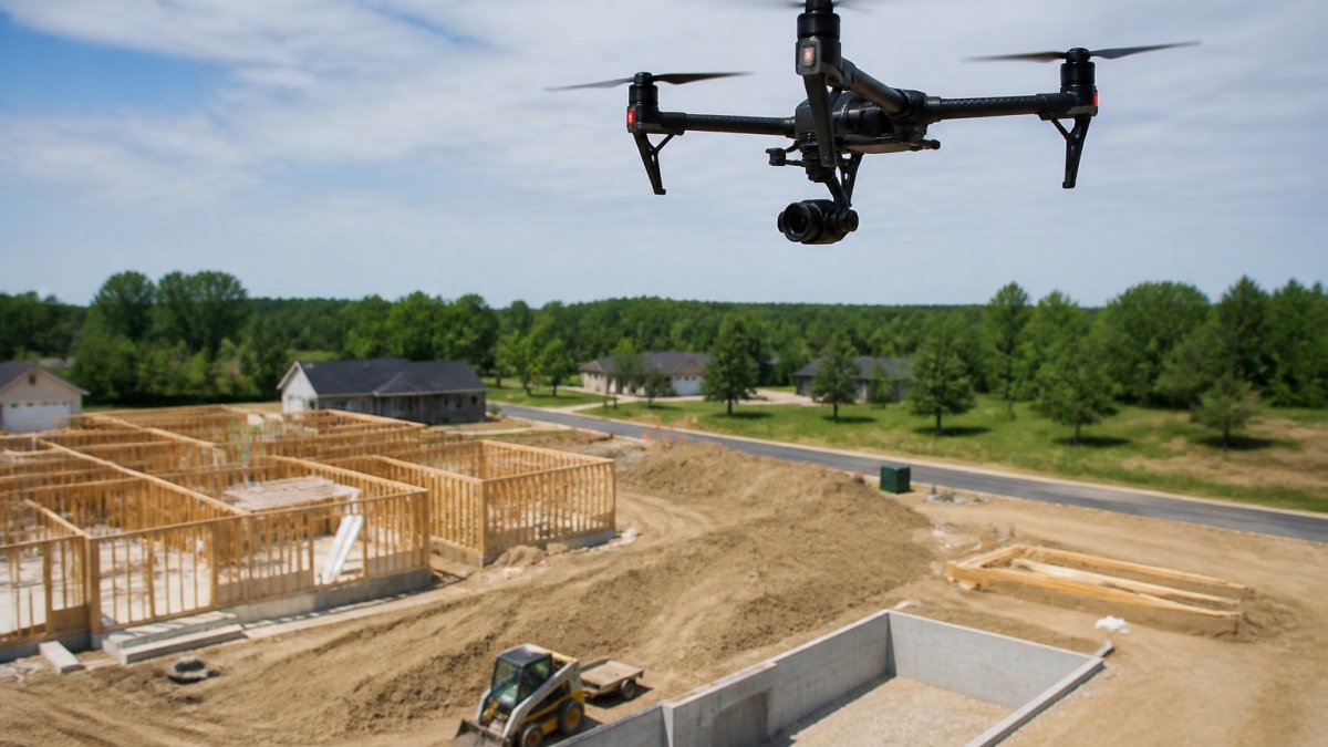
Tip: Match the capture schedule to your milestones, such as foundation, framing, roof dry-in and final grading. That gives you a record at each decision point.
Exterior records can show site conditions, while interior photos can document visible work before drywall goes up. WEMAD also provides interior construction photo documentation.
Building a Construction Progress Photo Checklist and Report Template
A checklist can help organize project records. Use a consistent approach for each visit. For exposed systems, document each room before insulation and drywall cover them.
Pre-capture checklist
- Confirm the flight date and weather window
- Note the current phase, such as framing or rough-in
Organize construction progress photographs by date and project phase for later review.
Scheduling Your First Aerial Capture on Your Project
Plan a capture around a meaningful project milestone, such as slab completion or framing.
- Define the goal. Decide whether you need progress tracking, marketing images or a reference record.
- Pick the frequency. Match it to your schedule and budget.
- Confirm access. Coordinate site access and timing with the project team.
- Request a quote. Share your project scope and timeline. West Michigan Aerial Documentation LLC provides aerial and interior documentation for construction projects. Request a quote.
A capture can provide a dated record of a project milestone.
Frequently Asked Questions
What should aerial construction records include?
Aerial construction records can include dated images. WEMAD offers repeatable aerial photography from consistent positions, with repeat viewpoints where access and conditions allow. Organizing images by date and project stage can help keep the record clear.
How often should a construction site be photographed from the air?
A useful documentation schedule follows the work rather than a fixed number of visits each month. Discuss project milestones and timing with West Michigan Aerial Documentation LLC, and request a quote for current pricing.
What resolution is best for construction progress photos?
WEMAD provides high-resolution aerial photography and 4K video. Discuss the project scope and the imagery needed with the provider when requesting a quote.
Can drone photos document construction progress?
Yes. Repeatable aerial photography can provide a dated visual record of construction progress. WEMAD also provides interior construction photo documentation before drywall goes up.
