
Last Updated: November 4, 2026
Quick Summary
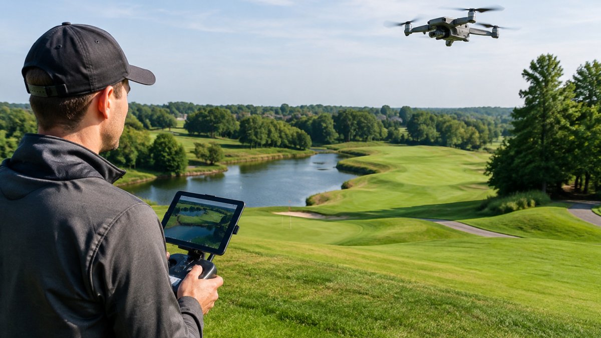
Aerial documentation gives golf course managers a complete, dated visual record of every hole and the surrounding terrain, showing how the course changes over time. Repeated flights from the same positions help superintendents plan maintenance, compare conditions across seasons and document renovation progress.
- Fly a baseline in early spring, monthly flights through the growing season, and a closing flight in late fall.
- Fly the same route, altitude and time of day so records stay comparable across flights.
- Use overhead stills for hole-by-hole logs and comparisons, and 4K video for walk-through summaries.
- Track KPIs such as square footage of thin turf and maintenance hours spent scouting on foot.
- Flights must follow FAA rules for small unmanned aircraft, plus any local ordinances or club policies.
Table of Contents
- What Aerial Documentation Captures on a Golf Course
- Golf Course Drone Photography for Maintenance Planning
- Drone Surveys for Golf Courses: Drainage, Irrigation and Insurance
- Golf Course Progress Documentation for Renovations and Design Records
- Frequently Asked Questions
What Aerial Documentation Captures on a Golf Course
Aerial documentation gives golf course managers a complete, dated record of their property from above, capturing every hole, the surrounding terrain and how the course changes over time.
A single flight can record fairways, greens, bunkers, tee boxes, water hazards and tree lines. Repeating that flight from the same positions creates a visual history, compare a green in June with the same green the following spring.
FAA guidance on small unmanned aircraft operations sets the rules that govern how these flights are conducted in the United States.
Stills suit printed reports and side-by-side comparisons; video works well for walk-through summaries owners and committees can review together.
The full range of property photography, from courses to marinas and estates, is covered here.
Golf Course Drone Photography for Maintenance Planning
Aerial images help superintendents plan maintenance with more precision, showing drainage patterns, thin turf and encroaching vegetation that are hard to spot from ground level. The benefit depends far more on how you capture and organize the imagery than on the fact that a drone flew over the property.
-
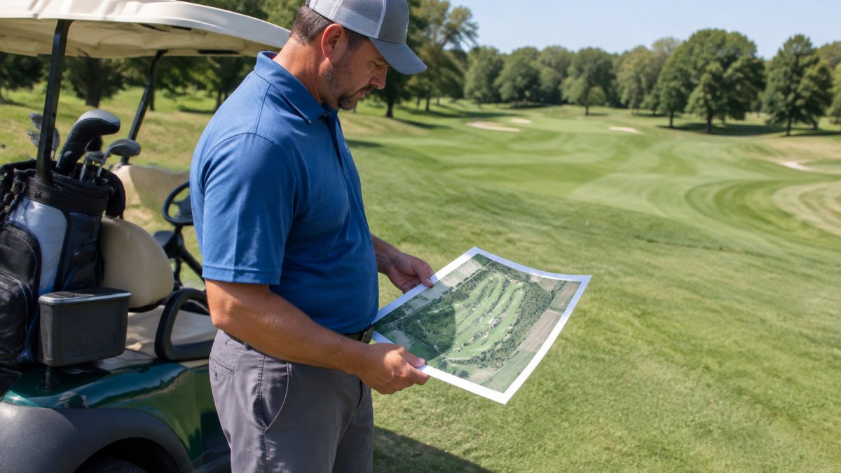
Overhead stills are the fastest, cheapest record, use them for hole-by-hole condition logs, committee reports and comparisons over time.
-
Panoramas and 4K video work best for walk-through summaries; they convey context but are not reliable for measurement.
Set a repeatable flight schedule. A common pattern is a baseline flight in early spring, monthly flights through the growing season, and a closing flight in late fall. Fly the same route, altitude and time of day so records stay comparable; different lighting can make the same area look very different, and shadows can mimic turf stress that is not there.
Turn imagery into maintenance decisions. Dated images let teams compare before deciding where to aerate, reseed or adjust irrigation. Review the latest flight against the previous one, flag changed areas, and log each flag with a date and location so the next flight can confirm whether the treatment worked. Tracking whether treatments worked also helps teams weigh investing in golf course improvements, including whether a practice putting area could benefit from an artificial surface.
Track outcomes, not just images. Define a few KPIs before you start: square footage of thin turf, irrigation repairs triggered by aerial findings, maintenance hours spent scouting on foot, and time to assess storm damage. Reviewing those numbers each season shows whether the program is paying for itself.
Request a Flight or construction photography inside and out even in the air →
USGS overview of aerial imagery for land monitoring
Here is how the main maintenance-planning practices compare.
| Practice | Timing or frequency | Key point |
|---|---|---|
| Baseline flight | Early spring | Starts the visual record |
| Growing-season flights | Monthly | Track changes over time |
| Closing flight | Late fall | Closes out the season |
| Overhead stills | Hole-by-hole logs | Fastest, cheapest record |
| 4K video | Walk-through summaries | Good for context, not measurement |
| Consistent route and time of day | Every flight | Keeps records comparable |
Drone Surveys for Golf Courses: Drainage, Irrigation and Insurance
Drone surveys can highlight low spots where water collects after heavy rain, irrigation coverage gaps and areas of turf stress, supporting better water-use planning. The value comes from pairing the imagery with a repeatable process and knowing what the imagery can and cannot tell you.
Flights must follow FAA rules for small unmanned aircraft. Confirm whether local ordinances or club policies add requirements before scheduling routine flights.
Pricing depends on property size, flight frequency and deliverables, so request a quote through the West Michigan Aerial Documentation LLC website. Find out what drives the annual cost of repeated drone inspections before you set a budget.
Golf Course Progress Documentation for Renovations and Design Records
Renovation projects benefit from regular aerial documentation. Each flight records how earthwork, shaping and drainage installation are progressing, giving owners and contractors a shared visual record.
Design teams also use dated imagery to compare the finished course with the original plans, useful for future renovations and for explaining decisions to members and investors.
The full picture, at every meaningful milestone, is documented through aerial construction work. If you are planning a renovation, start by outlining your project and requesting a plan.
Last Updated: November 4, 2026
Frequently Asked Questions
How often should a golf course be photographed from the air?
Frequency depends on what you are tracking. Many course managers schedule flights at set points in the season, such as spring green-up, mid-summer peak stress and fall preparation, so each set of images can be compared against the same time last year. During construction or renovation, flights may be scheduled at each major milestone instead. The key is repeatability: flying from the same positions and at comparable times makes changes easy to spot. Pricing depends on flight frequency, acreage and deliverables, so request a quote from West Michigan Aerial Documentation LLC on its website for current rates.
What is the difference between aerial photography and a drone survey?
Aerial photography captures images and video for visual records, communication and marketing. Ask any provider which deliverables they produce before you commit, because the output determines what you can measure later.
Can drone imagery help golf courses plan maintenance?
Yes. Comparing dated aerial imagery from different seasons can help managers plan work based on observed conditions rather than memory. The images support planning but do not replace agronomic testing, so pair them with soil and turf sampling where needed.
